What is YourWeb EUDR?
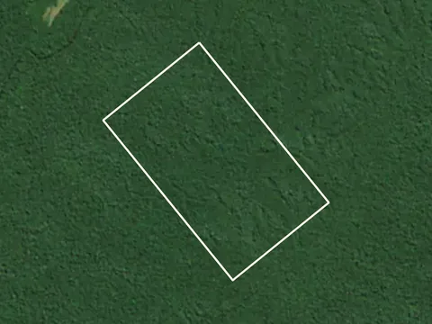
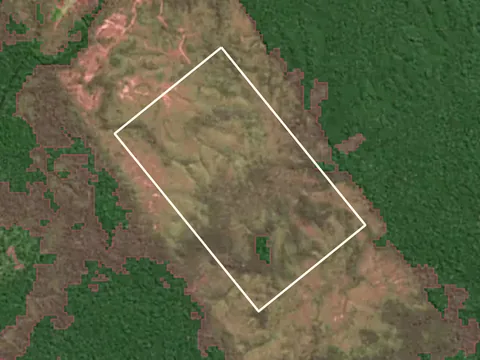
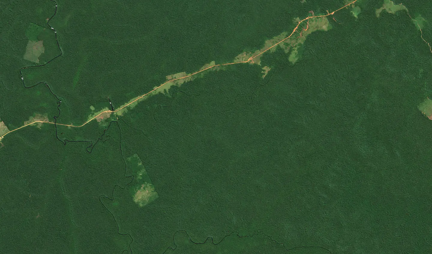
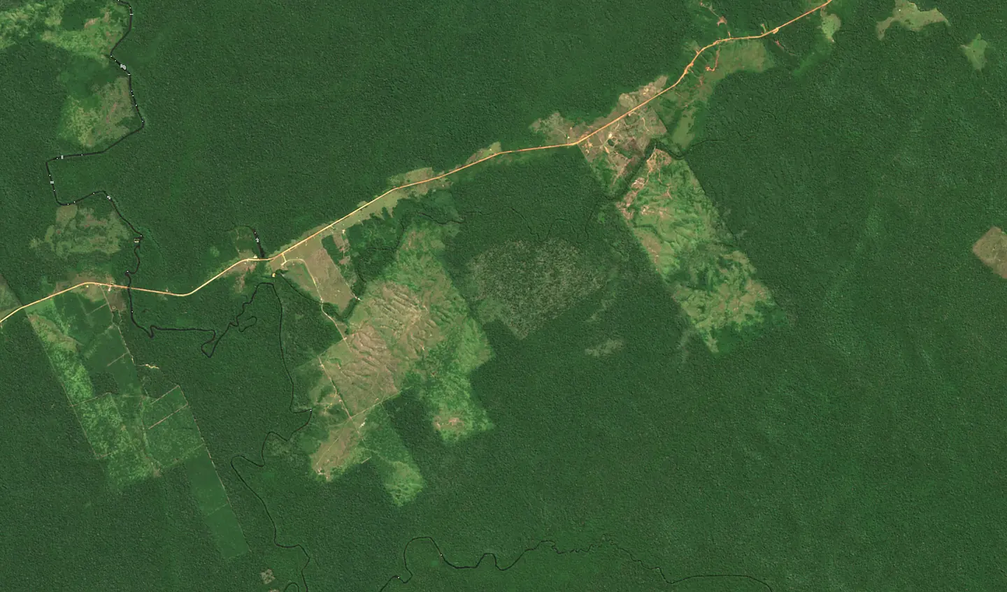
YourWeb EUDR is EUDR compliance software from Poland for Regulation (EU) 2023/1115, made for importers, producers and traders of cattle, cocoa, coffee, oil palm, rubber, soy and wood. Suppliers send their plots in their own language (a point or a GeoJSON or KML file), AI checks every plot on Sentinel-2 satellite images, and the panel prepares the risk assessment and the due diligence statement (DDS), which it submits to TRACES once you approve it. Records are kept for 5 years. There is a free plan to start.
How is YourWeb EUDR different from TRACES?
TRACES is the European Commission's system where a company registers and files due diligence statements (DDS) with plot geolocation. It does not collect data from suppliers and does not check plots. YourWeb EUDR does the work before filing: it collects plots and documents from suppliers, detects deforestation on satellite images, proposes the risk assessment and fills in the statement, and after submission passes the reference number to the customs agent and to customers.
I buy from suppliers within the EU. Does the EUDR apply to me?
Yes. If you buy in the EU and process the goods, you are a downstream operator: you do not submit your own statement, but you record your suppliers and customers and, from a supplier who placed the goods on the EU market, collect the reference numbers of its statements. You keep this data for 5 years. The deadline is 30 December 2026, whatever the size of your company.
The EU is low-risk. What does that change?
For commodities from a low-risk country, simplified due diligence is enough, without a full risk assessment. You still have to collect the geolocation of the plots and submit a statement. Belarus, North Korea, Myanmar and Russia are currently high-risk; Brazil and Indonesia, for example, are standard-risk.
What if a supplier does not provide plot coordinates?
Without them no statement can be submitted and the goods will not clear customs. The panel sends the supplier reminders in their language and shows which shipment is affected. For plots up to 4 ha a single point is enough; larger ones need boundaries.
Does the satellite analysis replace the risk assessment?
No. It is one source of information, if a very strong one: it shows whether forest disappeared from a plot after 2020. The risk assessment is approved by a person who sees the before and after images, the supplier's documents and the country of origin.
How recent are the satellite images?
The Sentinel-2 satellites photograph the same place about every 5 days. The panel picks cloud-free images from recent months and compares them with images from the same season in 2020. In regions with a rainy season this can be harder; the report then says so.
What does the free plan include?
You can try the panel with one supplier and up to five plots, with satellite analysis and a report for each plot. The plan does not send statements to the EU Information System and keeps data for 30 days. Moving to a paid plan keeps everything you have entered.
Do you submit statements on our behalf?
The panel prepares the statement and sends it to the EU Information System once you approve it. Legal responsibility stays with the company submitting the statement, also when an authorised representative does it.
Can my suppliers use the portal in their own language?
Yes. The supplier gets an invitation link and a form in their language, adds plots as a point or a boundary file and uploads documents. Their data is shared only with your company, and they can withdraw consent.